

From San Carlos, Pulgas Ridge Open Space Preserve offers a way to trade the town’s streets for hillside paths: this 366-acre preserve has six miles of trails for walking and hiking with dogs. Its routes range from an accessible meadow trail to connections for a longer loop.
- Location: Hills above San Carlos and Redwood City
- Trail network: Six miles of trails
- Hours: Open daily
- Parking: 23 spaces, including 2 ADA spaces
Where is Pulgas Ridge, and how do you get there?
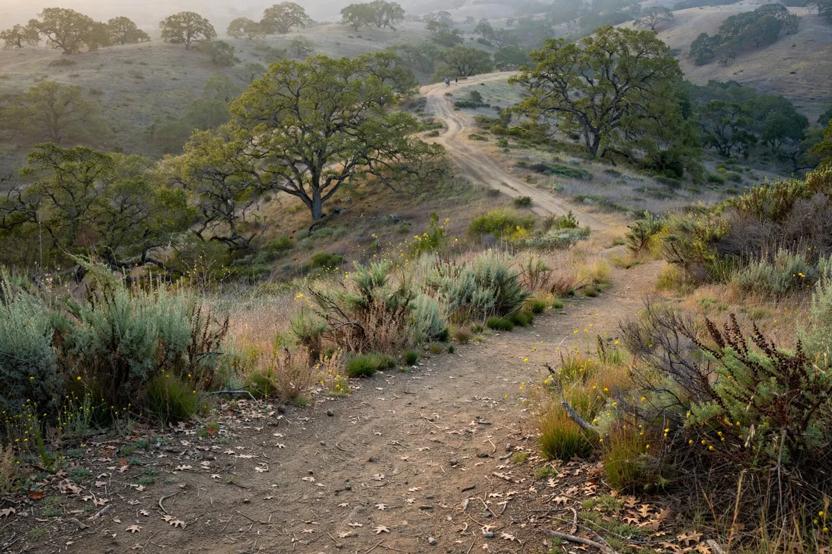
Pulgas Ridge sits above San Carlos and Redwood City, with a parking area reached from Edmonds Road. From San Carlos Inn, take the Highway 280 and Edgewood Road route; the preserve is about a 10-minute drive. The inn offers guest rooms in San Carlos.
From Highway 280, take the Edgewood Road exit and head northeast toward Redwood City for 0.75 miles. Turn left onto Crestview Drive, then immediately turn left onto Edmonds Road. Follow Edmonds Road to the preserve entrance on the right.
The parking area has 23 spaces, including 2 ADA spaces. Once there, you can pair a short walk on Cordilleras Trail with the connected two-mile loop for a longer outing.
Plan your arrival within the preserve’s daily opening window: it opens one-half hour before official sunrise and closes one-half hour after official sunset. Hours can vary with sunrise and sunset, so check the official site before you go.
Which Pulgas Ridge trails suit your hike?
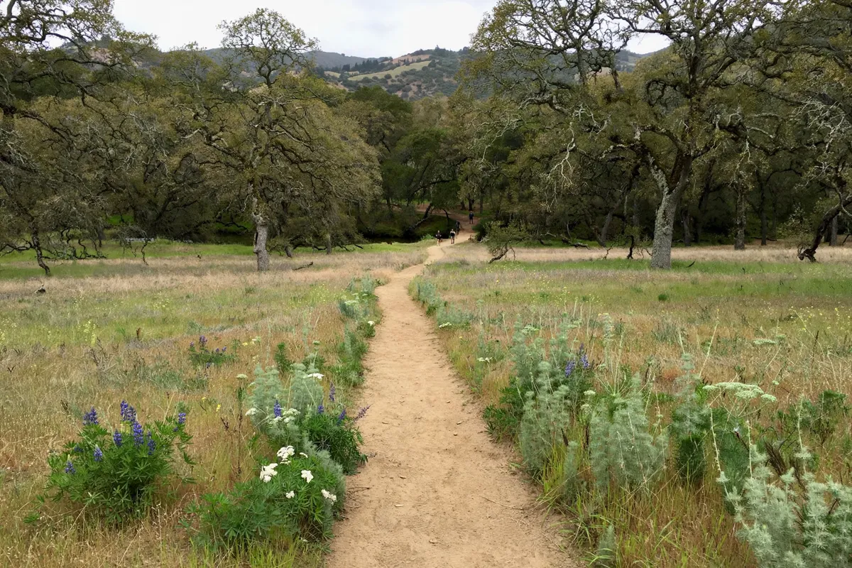
Pulgas Ridge’s trails include an accessible meadow route, hillside connections and a two-mile loop. Pick a route based on the distance and terrain you want, then follow the connections to extend your walk.
Cordilleras Trail
The Cordilleras Trail runs 0.8 miles at a very slight grade through a meadow to a bench in a wooded area by Cordilleras Creek. It is designed for wheelchairs and strollers. Its first section parallels a paved road; where the road separates from the trail, it becomes steeper than a 10 percent grade.
Dusky-footed Woodrat Trail
This two-mile trail crosses the preserve’s northern portion. You can access it from the Cordilleras Trail at the bottom or the Hassler Trail at the top.
Polly Geraci and connecting trails
The one-mile Polly Geraci Trail climbs an oak-covered hillside and connects with the Hassler and Dick Bishop trails. The Polly Geraci, Hassler, Dusky-footed Woodrat and Cordilleras trails also connect to form an easy two-mile loop.
The Dick Bishop Trail runs from the Blue Oak Trail through the preserve’s south canyon and connects with the Polly Geraci Trail. For a simple outing, start on Cordilleras; to make a loop, use the trail connections and allow for the added distance.
What rules and conditions should you know?
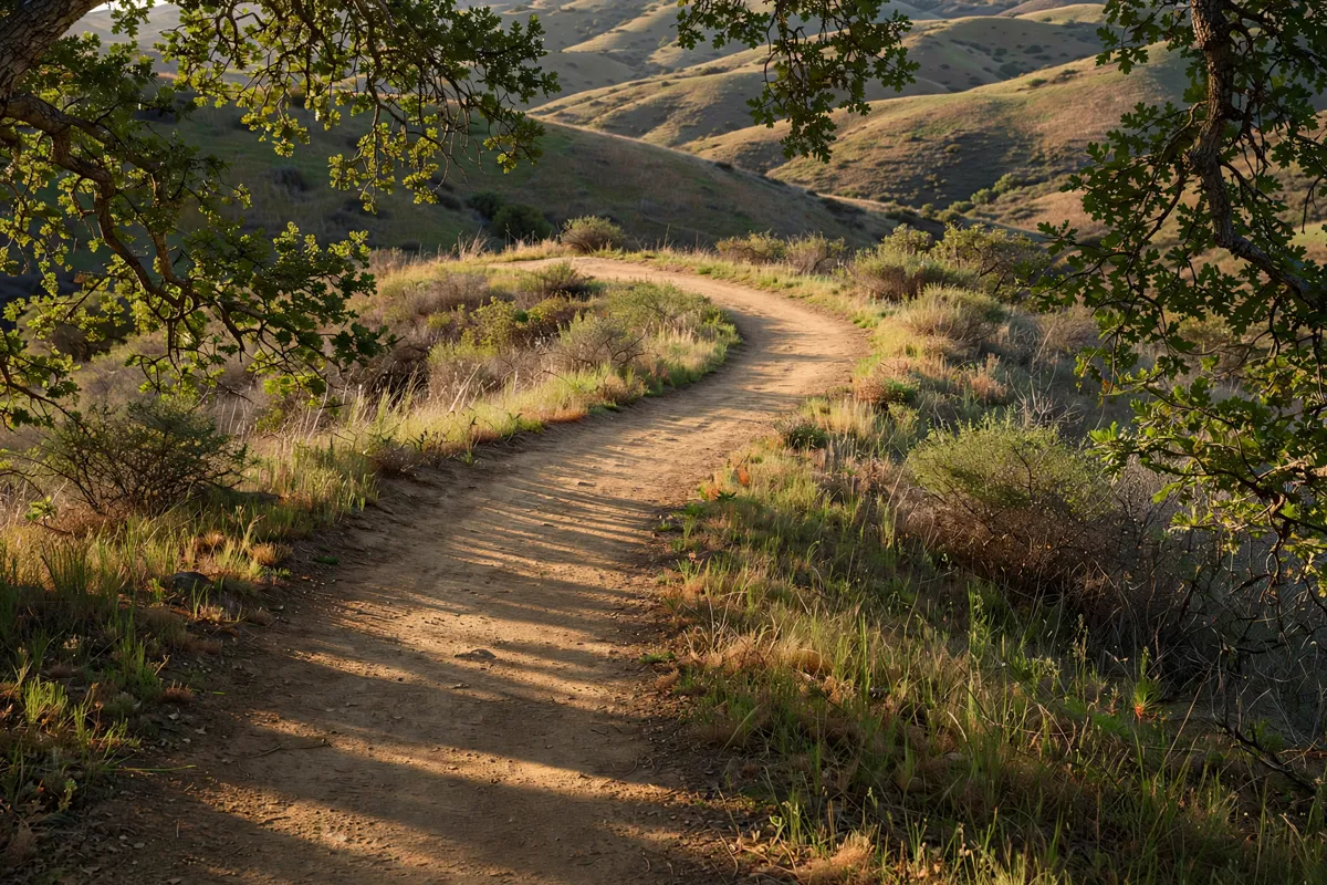
Dogs are allowed, but leash requirements depend on where you are in the preserve. The 17.5-acre off-leash area is in the center and can be reached from the Cordilleras, Polly Geraci/Hassler and Blue Oak trails.
Inside the off-leash area, carry a leash and keep dogs under voice control. Outside it, dogs must be on a leash no longer than 6 feet; self-retracting leashes are allowed if their extended length is no more than 25 feet. You may bring up to three dogs, and you must bag and take away dog waste.
Bicycles and horses are not allowed, and fires and smoking are prohibited in Midpen preserves. Restrooms are available. Check Midpen’s official site before setting out for current trail conditions.
How can you plan a hike from San Carlos?
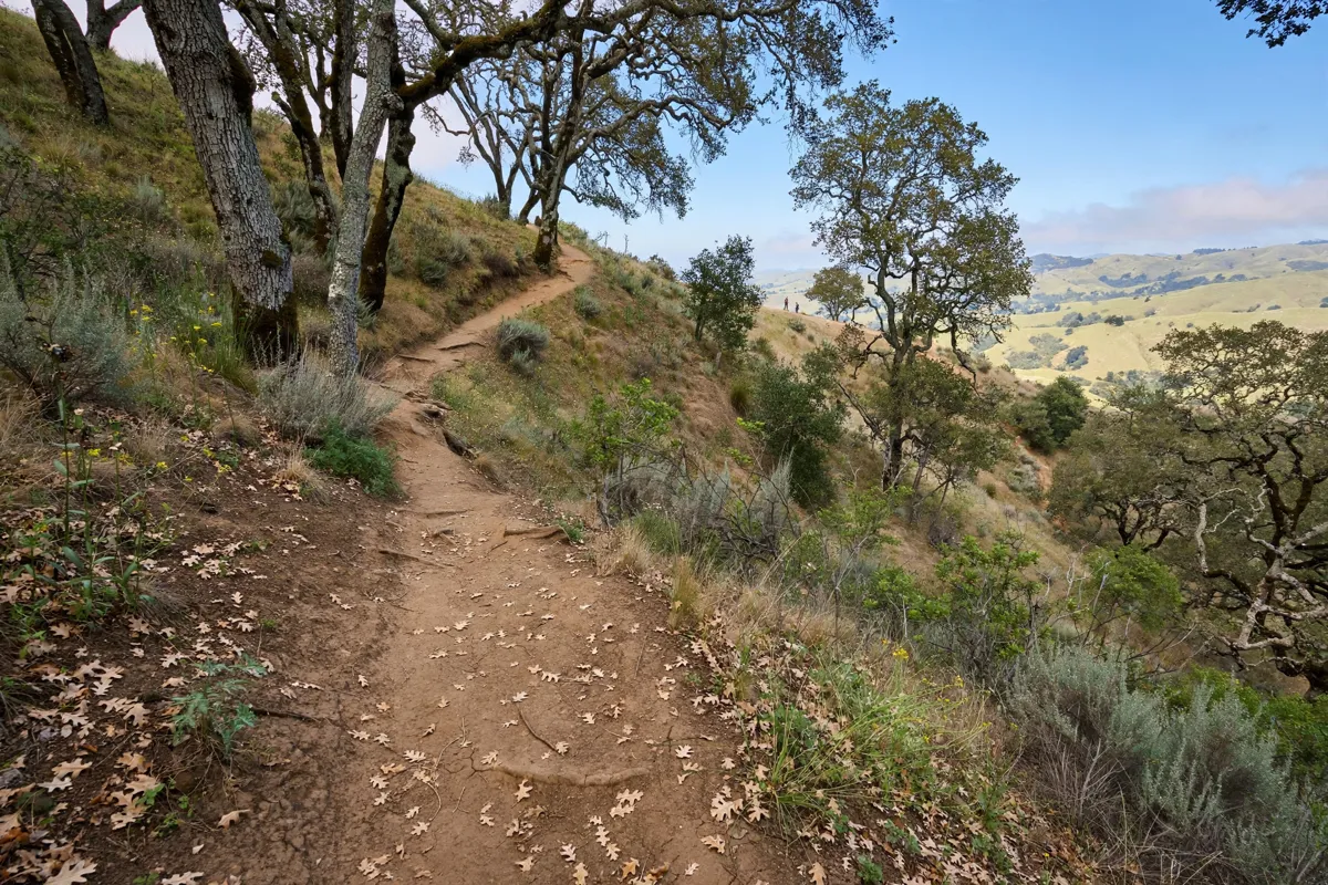
Start by choosing a route that fits your group, then account for the drive and the preserve’s daylight-based hours. The Cordilleras Trail offers a short, gently graded out-and-back walk; the connected two-mile loop combines four trails for a longer circuit. The Phleger Estate trail guide covers another Peninsula hike.
For a wheelchair or stroller outing, use the Cordilleras Trail and note that the parallel road becomes steep where it separates from the trail. If you are bringing a dog, decide whether to visit the central off-leash area and carry a leash for access and use elsewhere in the preserve.
The site was formerly the Hassler Health Home, a tuberculosis sanitarium owned by the City of San Francisco. Midpen purchased the area in 1983, and the sanitarium was demolished in 1985. Remnants include rock retaining walls and steps.
Early spring wildflowers include Indian warrior, hound’s tongue, mule’s ears, milkmaids, fetid adder’s tongue, giant trillium and mission bells. A San Carlos neighborhood guide provides context for the town around the preserve.
FAQs
Are dogs allowed at Pulgas Ridge?
Yes. Dogs may use the trails, with leash rules that differ inside and outside the central off-leash area.
Can you take a stroller on the trails?
The Cordilleras Trail is designed to accommodate strollers and wheelchairs.
Are bicycles allowed at Pulgas Ridge?
No. Bicycles and horses are not allowed in the preserve.
What remains of the former sanitarium?
Visitors may see rock retaining walls and steps from the former Hassler Health Home.